Your Map Tools contain important tools designed to build, edit, and interact with your custom map layers. Here you can add data points, select points, move points, measure between points or areas, and even track your live location while in the field.
You can find your Map Tools Bar located in the bottom-right-hand corner of your screen.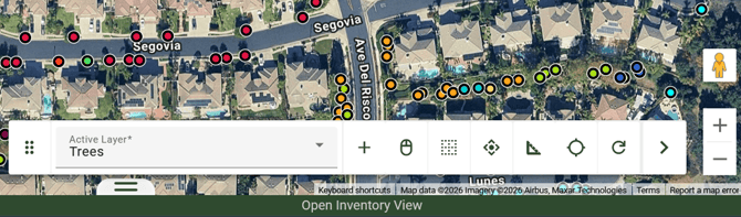
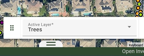
- Active Layer: Your Active Layer is displayed on the Map Tools Bar. Clicking on it opens a drop-down menu of your layer options, allowing you to toggle between multiple layers.
- Add Object: This button adds new data points, lines, and polygons based on your Active Selection. For example, when the tree layer is active, you can add a point for a tree.
- Click Selecting: You can select your trees or data points individually when using the Single Select Button. As you select points, the Inventory Tray Metrics will reflect your selection count and value.
- Polygon Select: Select objects on the map using a polygon. You can adjust the shape and size for your selection using the Polygon’s dots.
- Move Tool: Move both individual data points and perform mass movements of selected trees. Please keep in mind that mass moves cannot be undone.
- Measure Tool: Place Rulers on the Map using the Map Ruler Tool to create and clear measurements on the map.
- The GPS Tool: Populate an icon that reveals your current location in real time on the map.
- Reset Tool : Clears active highlights and rulers from the map by default; this setting can be changed in the preferences pane.
- Close Map Tools: Your Map Tools bar can be moved on the screen and is collapsible. Click the 6-dot icon on the left to click and drag the toolbar across the screen, or click the arrow on the far right side of the Map Tools Bar to hide or reopen it.